本文由OMGEVING授权mooool发表,欢迎转发,禁止以mooool编辑版本转载。
Thanks OMGEVING for authorizing the publication of the project on mooool, Text description provided by OMGEVING.
OMGEVING: 臭名昭著的“伊普尔阵地突出部”的遗址(The Bluff)是一战时期遗留下来的战时景观,场地上到处都是被疯狂挖掘出的地下通道和竖井、地雷爆炸坑以及被破坏的土地。在当地文旅项目“纪念公园14-18”的开展背景下,设计师对该遗址进行了一系列改造设计,向游客们再现战争时期的景观。
OMGEVING: The Bluff in the notorious ‘Ypres Salient’ is a unique wartime landscape that survives from the First World War. The site was the scene of widespread feverish digging of underground passages and shafts, mine explosions, sabotage and attempts at eavesdropping. In the context of the cultural tourism project, ‘Remembrance Park 14-18’, subtle measures in and around the site have been taken to improve access for visitors and so that visitors can see what the unique landscape framework in which the fighting took place looked like.
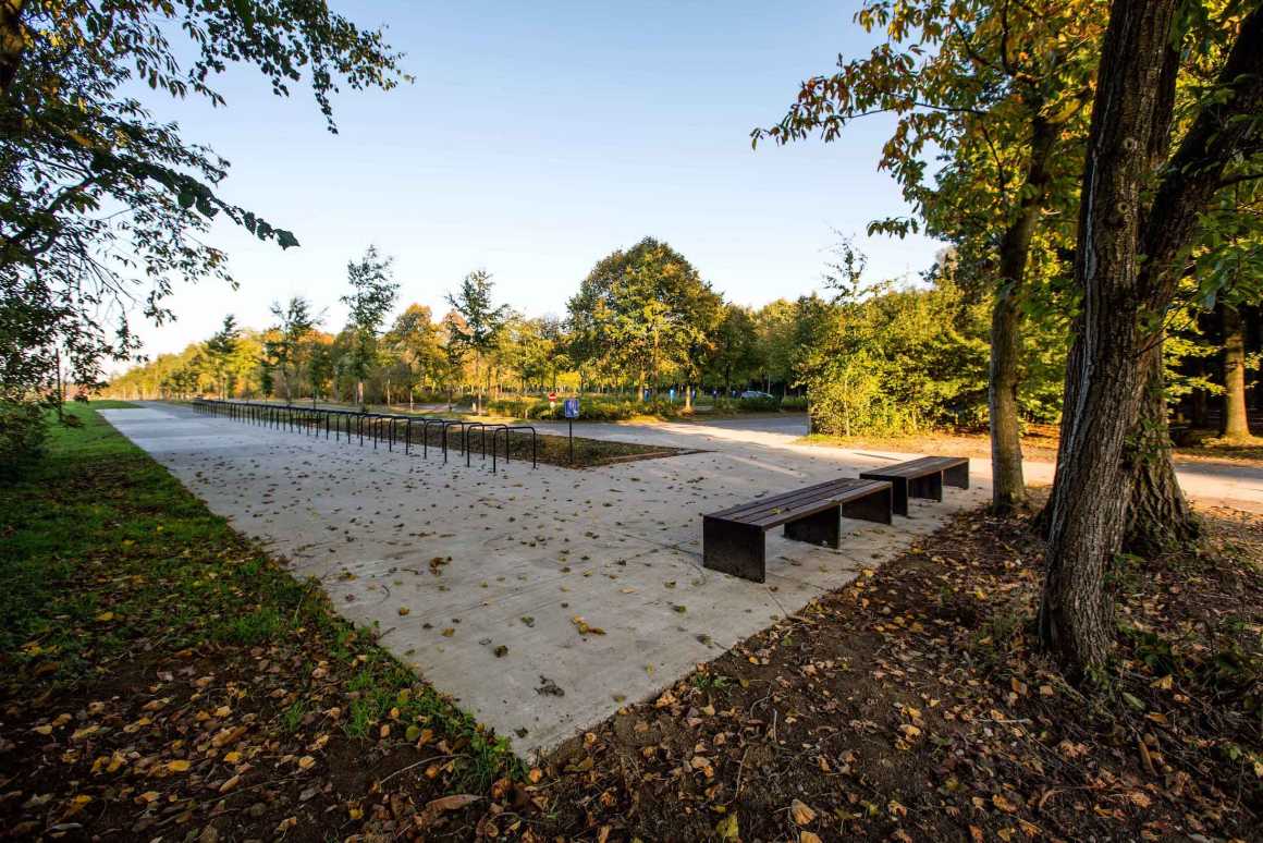
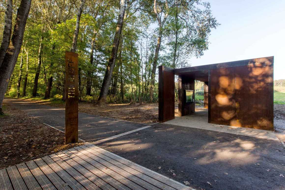
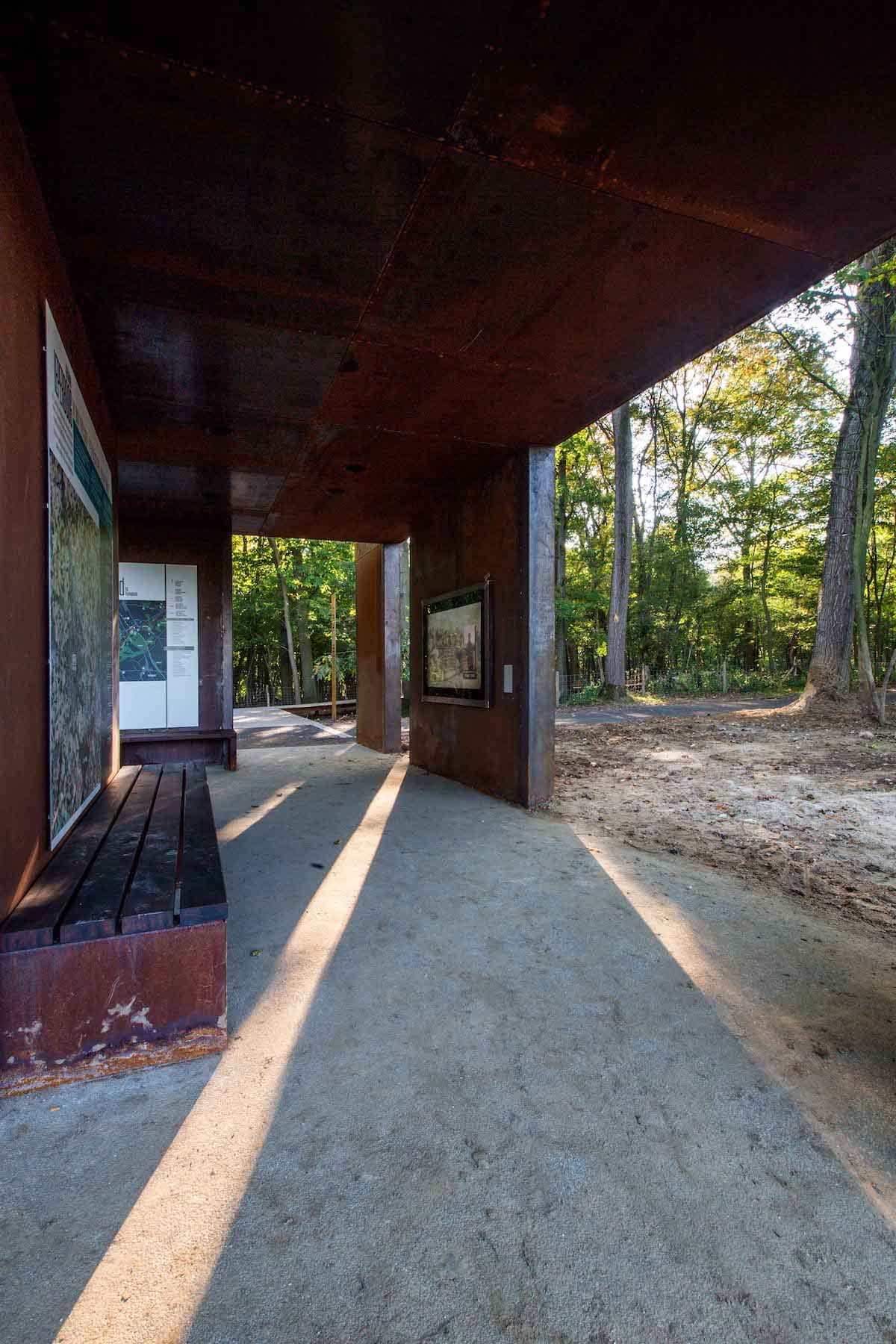
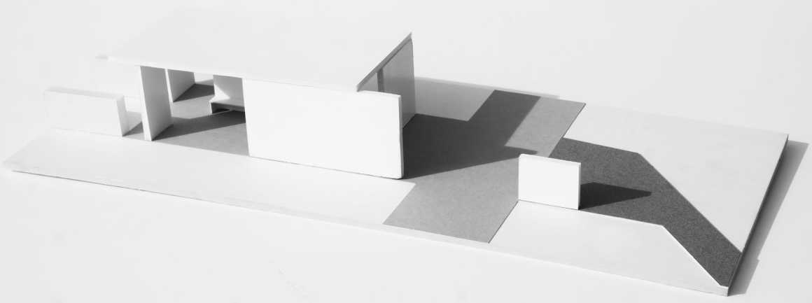
在这个独特的战时遗址场地上,设计经过了精心的思考,干预措施不对地下空间进行改动,游客从停车场被引导进入战区场地。游览活动从一个有顶棚的信息展馆里开始,向游客展映战时的影像信息,矿井和弹坑之间的长廊通道为人们提供了一次独特的游览体验。
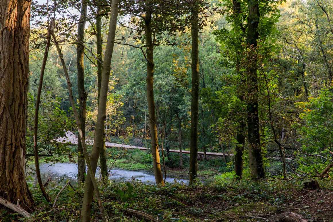
The works in this unique landscape have been executed subtly and without disturbing the underground. From the car park, visitors are led to the war zone. The visit starts at a covered information pavilion with an information film. Between the mine and bomb craters, which are now often under water, a long decked pathway provides for a rare experience.
▼信息展馆 The covered information pavilion
这条小路将游客引向断崖,英军阵地比德军阵地高出10米,两个阵地的距离仅40米。在最高点有一个瞭望台,可以俯瞰前线的中立地带——广阔的无人区。在战争期间被称为Gordon Post的水闸距离断崖约700米,曾被英国人用作军营总部和急救站。一座横跨水面的浮桥为游人提供了一个独特的观景视角,在上面可以看到长满了蕨类植物的闸门,这座桥还与休闲步道相连。
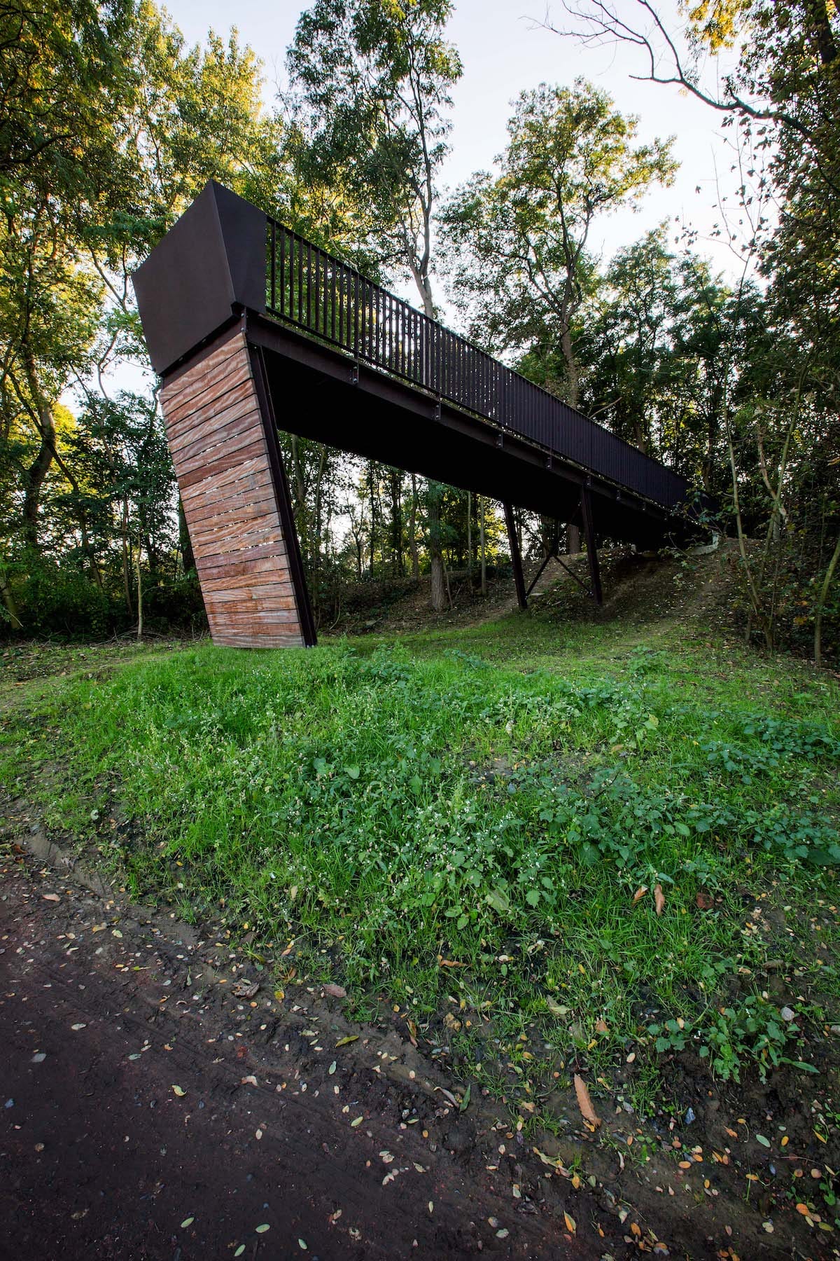
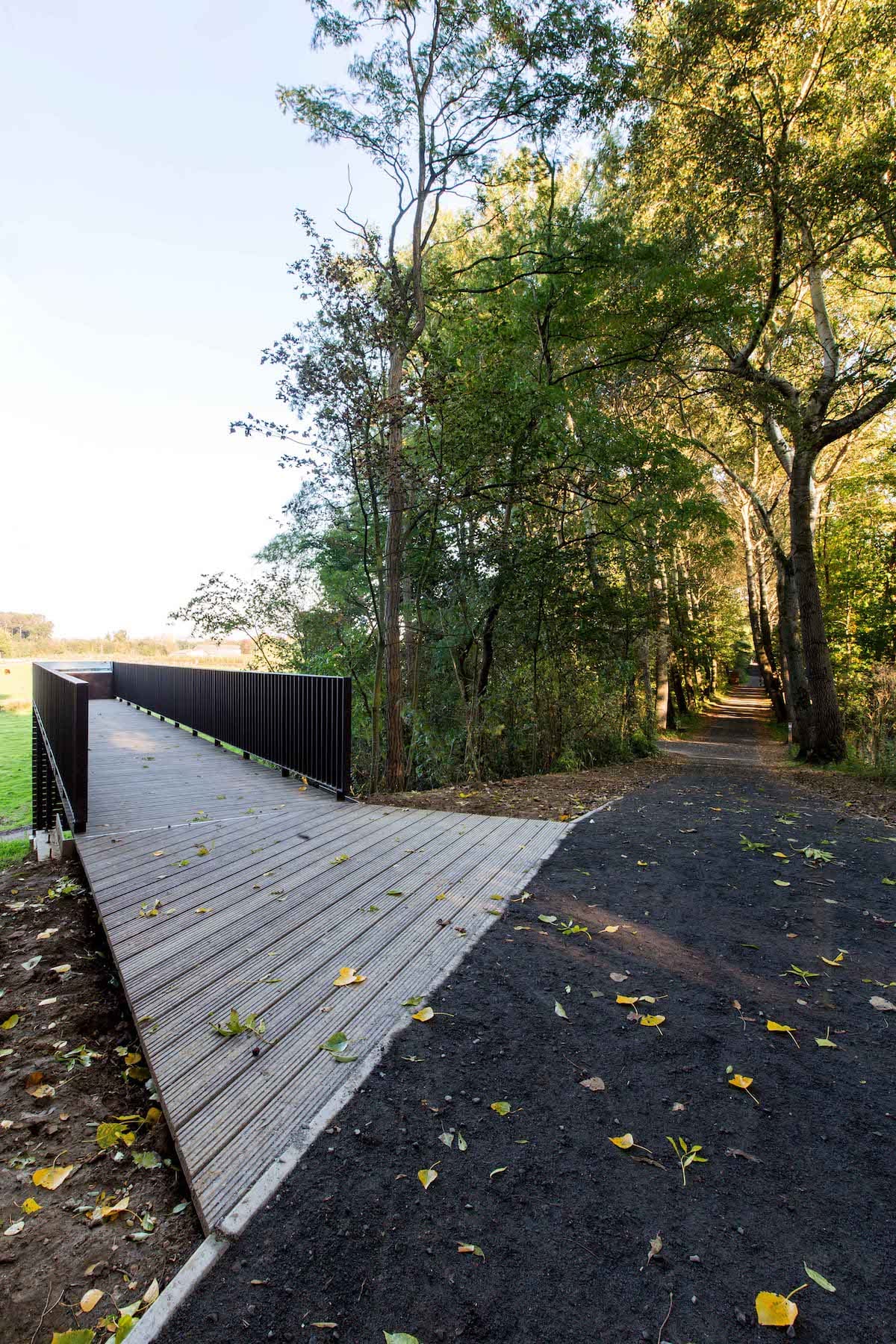
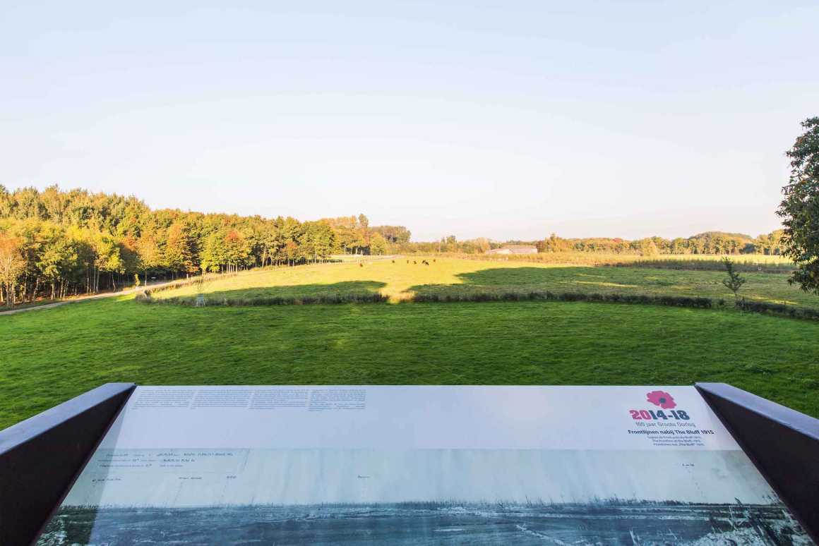
The path leads visitors to The Bluff, where the English positions were 10 metres higher than and just 40 metres from the lower-lying German line. At the highest point, there is a lookout with extensive views over No Man’s Land, the neutral zone between the front lines. The historical canal lock, some 700 metres from The Bluff, was given the name, Gordon Post, during the war and was used by the British as battalion headquarters and first-aid post. Here, a floating bridge across the water gives a unique view into the lock, now overgrown with ferns. The bridge links the recreational trails.

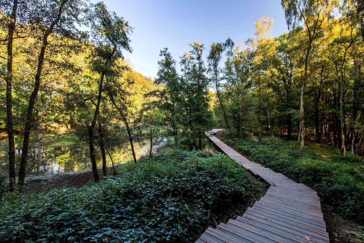
自第一次世界大战结束以来,该遗址场地并没有受到过多的破环和干扰。人们仍然可以看到炸弹爆炸后在场地上留下了高低不平的痕迹,仍然有许多地下通道,所以地面经常坍塌。埋在地下的是弹药和士兵,他们在这里结束了一生的战斗。在这100多年的时间里,大自然慢慢地接纳了这个地方。
The Bluff has remained intact since the end of the World War I. You can still see slight differences in levels, the result of bomb blasts. Many underground passages still exist, which regularly cause the ground to collapse. And buried in the ground are bombs, munitions and soldiers, who met their end fighting here. Nature has slowly, over the space of 100 years, spontaneously taken over this spot.
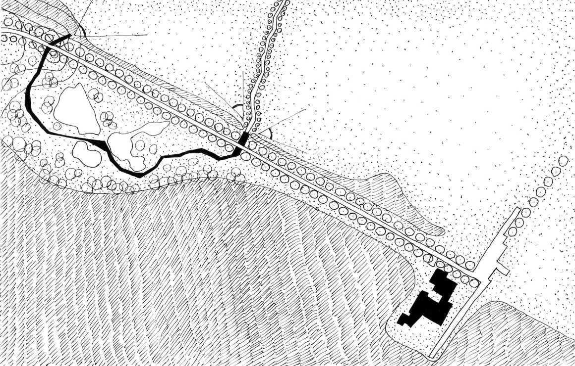
干预设计的不同之处在于对场地的分期建设,这为步行游览提供了充足的机会。设计还移除了场地上的一些杂树,使战争时期的荒凉景象得以重现,其他部分地区是不向公众开放的。地面上的钢条暗喻着前线阵地,高差通过台阶来处理和强调,建造所用的木材和钢材都是战争时期的材料。
What is unusual about the interventions is the staging, which provides ample opportunity for walking. The removal in certain places of trees that had sprung up naturally has allowed the image of the raw, bleak wartime landscape to be recaptured, while other areas have deliberately not been opened up. The former lines are indicated by steel strips in the ground and differences in level are emphasised by steps. The materials used (wood and steel) are a reference back to the war.
▼瞭望台可看到广阔的无人区 A lookout with extensive views
▼信息展馆模型 The information pavilion model
▼平面图 Plan
景观设计:
OMGEVING
设计师: Koen Moelants, Tompy Hoedelmans, Peter Seynaeve, Luc Wallays, Kevin Favere, Sofie Vandervliet
城市: 比利时伊普尔
街道: Palingbeekstraat
客户: 西弗兰德省
设计年份: 2013
完工年份: 2015
面积: 20.000 m²
摄影: Yanninck Milpas
文本: OMGEVING
Landscape Architecture: OMGEVING
Designers: Koen Moelants, Tompy Hoedelmans, Peter Seynaeve, Luc Wallays, Kevin Favere, Sofie Vandervliet
City: Ypres, Belgium
Street: Palingbeekstraat
Client: Province of West Flanders
Year of design: 2013
Completion date: 2015
Area: 20.000 m²
Photos: Yannick milpas
Text: OMGEVING
更多 Read more about: OMGEVING


0 Comments